UN
169 Hudrake
£ 73,000
Description
We don't have a Description for this property.
- Bedrooms
- 2
- Bathrooms
- 0
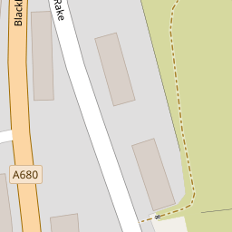
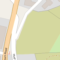
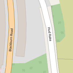
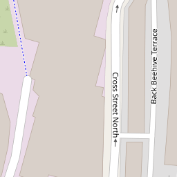

Leaflet © OpenStreetMap contributors
The heatmap indicates the level of crime in the area. The color of the heatmap indicates the crime severity and recency.
Metrics Year-on-Year
- Average area value
- 186,844.00 £Decreased by 1.14 %
- Average area rental value
- 616.00 £/moDecreased by 15.62 %
- Est rental Yield
- 3.96 %Decreased by 14.47 %
- Crime Rate
- 8.00 %Unchanged by 0.00 %
from 188,997.00 £
from 730.00 £/mo
from 4.63 %
from 8.00 %
Nearby Schools
| Name | Type | Ofsted | Distance |
|---|---|---|---|
| Haslingden St James Church Of England Primary School | Voluntary Aided School | Good | 0.71 KM |
| Haslingden Community Link & Children'S Centre | Children's Centre | 1.08 KM | |
| Haslingden Primary School | Foundation School | Good | 1.24 KM |
| Hillside Nursery School | Local Authority Nursery School | Good | 1.36 KM |
| St John'S Stonefold Cofe Primary School | Voluntary Aided School | Good | 1.44 KM |
Images
Nearby Streets
| Name | Average Price | Average Sqft | Distance |
|---|---|---|---|
| Hall Park | £ 0 | 0 | 0.00 KM |
| Bury Road | £ 0 | 0 | 0.00 KM |
| Ratcliffe Street | £ 0 | 0 | 0.00 KM |
| Maple Avenue | £ 85,000 | 0 | 0.00 KM |
| Back Lee Street | £ 0 | 0 | 0.00 KM |
Nearby Transport
| Name | NLC | TLC | Distance |
|---|---|---|---|
| Accrington | 2552 | ACR | 6.68 KM |
| Huncoat | 2558 | HCT | 7.00 KM |
| Hapton | 2557 | HPN | 7.65 KM |
| Church And Oswaldtwistle | 2556 | CTW | 8.49 KM |
| Rose Grove | 2722 | RSG | 9.32 KM |
Nearby Listings
| Address | Price | Type | Score | Distance |
|---|---|---|---|---|
| Hudrake, Haslingden, Rossendale | £ 100,000 | BUY | Unknown | 0.01 KM |
| Blackburn Road, Haslingden, Rossendale, BB4 | £ 129,950 | BUY | Unknown | 0.07 KM |
| Blackburn Road, Haslingden, Rossendale | £ 140,000 | BUY | Unknown | 0.07 KM |
| Blackburn Road, Haslingden, BB4 | £ 140,000 | BUY | 5 / 10 | 0.08 KM |
| Blackburn Road, Haslingden, Rossendale, Lancashire, BB4 | £ 80,000 | BUY | Unknown | 0.09 KM |
Nearby Properties
| Address | Price | Distance |
|---|---|---|
| 167 Hudrake | £ 35,000 | 0.00 KM |
| 147 Hudrake | £ 69,000 | 0.00 KM |
| 155 Hudrake | £ 55,000 | 0.00 KM |
| 171 Hudrake | £ 113,000 | 0.00 KM |
| 169 Hudrake | £ 73,000 | 0.00 KM |